Land Surveyor in Johnstown, PA, Somerset, PA, and Ebensburg, PA
Mash Engineering Inc Offers Topography, Surveys, Boundary Lines and More
Mash Engineering offers a quality land surveyor in Johnstown, PA, Somerset, PA, and Ebensburg, PA. Our services include property surveys, subdivisions, boundary line changes, and topographic surveys. Our land surveyors provide clear and detailed reports as well as assistance with preparing the area. We also provide flood elevation certificates, ALTA/NSPS land title surveys, and can assist with zoning or land ordinance variances.
Accurate Property Surveys for Every Project in Johnstown, PA
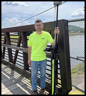
Property surveys are the foundation of any successful land development project. Our land surveyors have years of experience to guarantee you the most accurate surveys for customers in Johnstown, PA and surrounding areas. Under chief of surveys Rich Oldham, we provide detailed property surveys that define boundary lines, identify potential encroachments, and document existing site conditions. Our surveys are essential for landowners, developers, and real estate professionals who require accurate and legally compliant information for their projects. We utilize the latest surveying technology to ensure that every measurement is precise, allowing you to proceed with confidence. Contact us online today for more information about our land surveying team and how we can help with any land survey projects in Somerset, PA and surrounding communities.
Comprehensive Subdivision and Boundary Line Change Services
Working through the challenges of land subdivisions and boundary line changes requires expertise and careful planning. Mash Engineering Inc offers comprehensive services that help you subdivide your property or adjust boundary lines with ease in Ebensburg, PA and surrounding towns. Our team works closely with local authorities to ensure that all zoning and ordinance requirements are met, streamlining the approval process. When you’re dividing a large parcel of land into smaller lots or adjusting property lines for a sale, our experienced surveyors provide the guidance and support you need.
Detailed Topographic Surveys for Land Development for Ebensburg, PA and Surrounding Communities
Topographic surveys are crucial for understanding the physical features of a site and planning for future development. Mash Engineering Inc offers detailed topographic surveys that map out the elevation, contours, and natural features of your property. Customers in Ebensburg, PA and surrounding communities trust our expert land surveyors for accurate and detailed reports. These surveys are invaluable for architects, engineers, and developers who need accurate data to design buildings, roads, and drainage systems. Our topographic surveys help you make informed decisions that optimize the use of your land while ensuring compliance with environmental and zoning regulations.
Land Title Surveys, Flood Elevation Certificates, Site Planning, and More!
Mash Engineering Inc delivers ALTA/NSPS land title surveys and flood elevation certificates for commercial real estate, documenting property boundaries, easements, and improvements to satisfy lenders, title companies, and insurers. Beyond surveying, our integrated site planning and civil engineering services streamline development from concept to completion, including building permits, transportation and roadway engineering, water and wastewater design, and stormwater management. With precise data and coordinated design, we reduce risk, accelerate approvals, and keep your project compliant and construction ready. We provide service to in Johnstown, PA, Somerset, PA, Ebensburg, PA, and surrounding areas. Call for availability.
Site Planning and Civil Engineering Support
Land surveying is just one aspect of successful land development. At Mash Engineering Inc, we offer integrated site planning and civil engineering services to support your project from start to finish. Our team provides expertise in building permits, transportation and roadway engineering, water and wastewater design, and stormwater management.